#geodesy
6 episodes

#2437: The False Precision of GPS Coordinates
Why 8 decimal places of GPS data is mostly noise, and how tectonic plates move faster than your coordinate system updates.
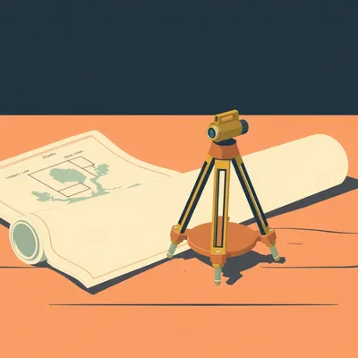
#2436: The One-in-Ten-Thousand Design Constraint
How survey-grade precision and Python tools shape local map projections — and the silent failures that break your analysis.
#1433: The End of Secret Eyes: How Satellite Data Became a Public Utility
Forget spy movies. Discover how modern satellites track sinking cities, methane leaks, and the "pulse" of our changing planet in real time.

#588: The Human Choreography of Space
Think satellites are driven by joysticks? Herman and Corn dive into the complex, high-stakes world of mission control and orbital maintenance.

#243: When Borders Drift: The High Stakes of Geodetic Math
Can a math error start a war? Explore how tectonic plate movement shifts international borders and the high-stakes precision of the Blue Line.

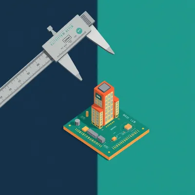
#20: Architectural AI: Precision with ControlNet & ComfyUI
From hobbyist AI to high-stakes professional applications: architectural AI with ControlNet & ComfyUI.